Google Maps shortcut from GPS photo data saves time
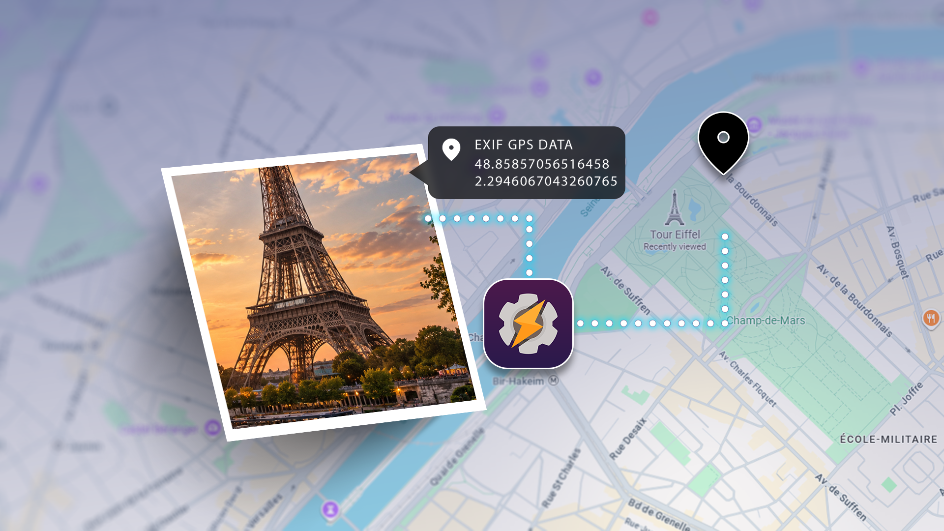
A user discovered a Google Maps shortcut that utilizes GPS data from photos to enhance urban exploration. This tool can save time and effort in route planning.
A user has shared their experience with a Google Maps shortcut that leverages GPS data embedded in photos to simplify urban exploration. This is particularly useful for those who enjoy discovering new cities but struggle with coordinating locations with friends. Instead of wasting time debating where to go, this shortcut allows quick access to previously visited places captured in stored images.
## Why it matters This discovery is significant as it showcases how technology can enhance personal exploration experiences. For photography enthusiasts and travelers, efficiently accessing location data can transform how they plan their adventures. Additionally, it reduces the frustration that often accompanies group outing organization.
## What we know The GPS data found in photos taken with smartphones is a common feature, but many users may not be aware of its potential. By integrating this information into Google Maps, the user can create a shortcut that leads directly to those locations, thus optimizing their time. This type of automation can be a great ally for those who enjoy hassle-free exploration.
## What’s still unclear It has not been detailed how to set up this shortcut exactly or whether additional apps are required for its functionality. Furthermore, the capability of Google Maps to effectively handle this type of data across all devices has yet to be confirmed.
Read at the original source:
Android Police →Related news
 Apps
AppsSamsung updates SmartThings with new interface and features
Samsung has refreshed its SmartThings app, introducing a modern interface and improved features. The update includes local controls and personalized device summaries.
 Apps
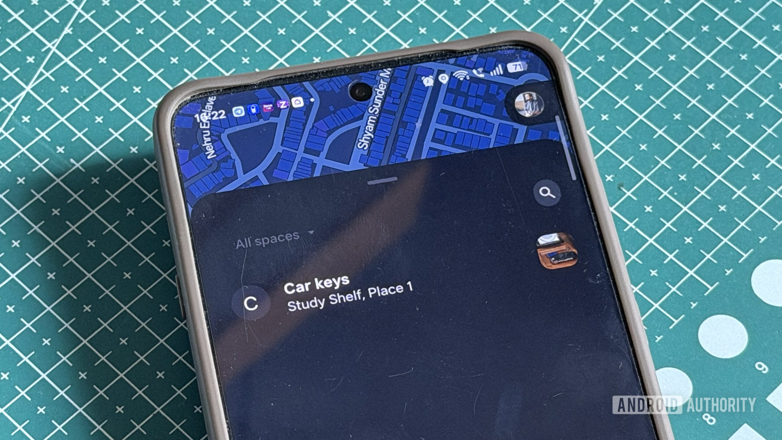
AppsGoogle Play Services update enhances item tracking capabilities
Google has added NFC support to its Find Hub tracking system. This will facilitate the identification and management of lost items.
 Apps
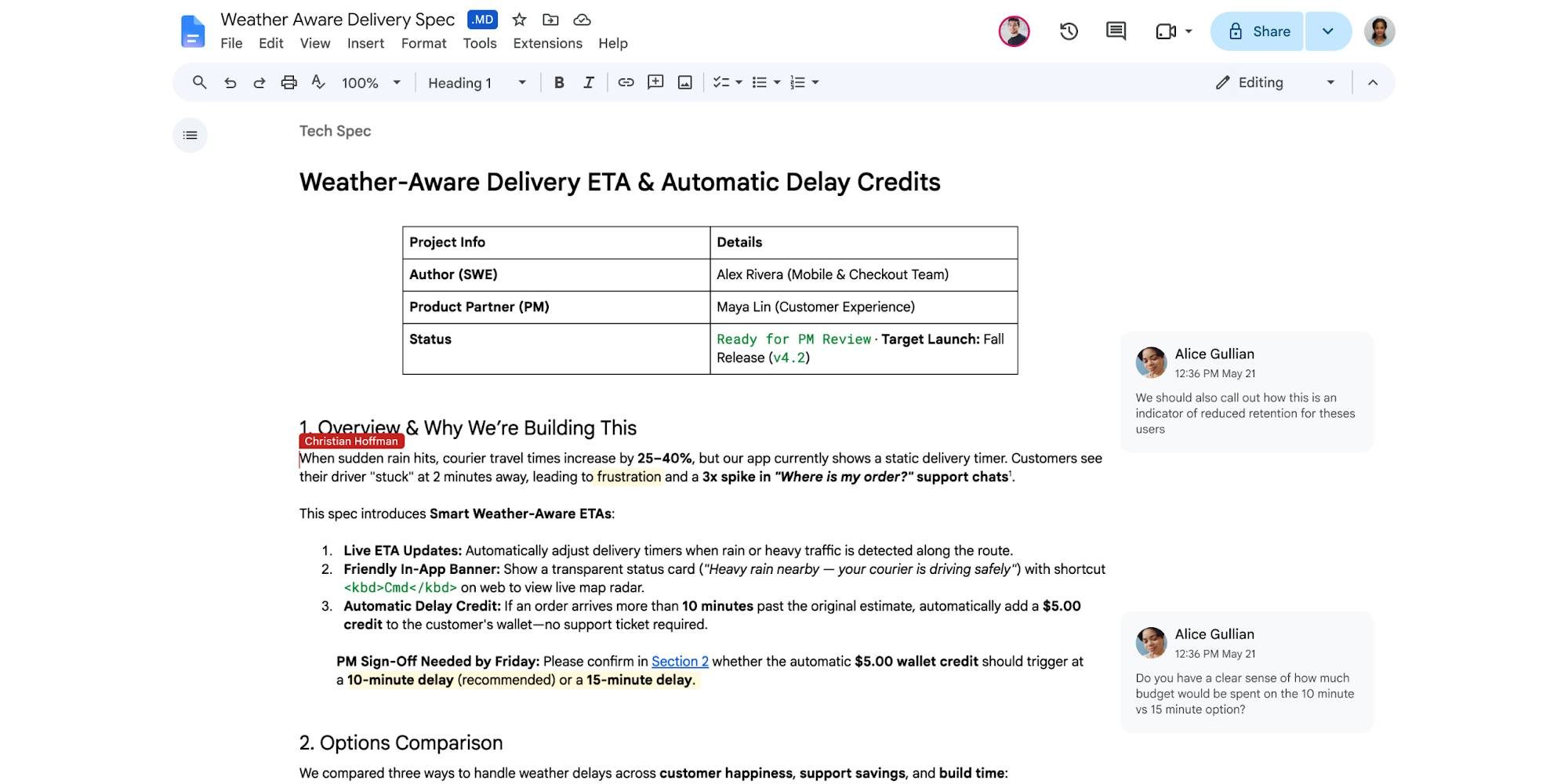
AppsGoogle Docs and Drive now support markdown files natively
Google has added native support for markdown files in Docs and Drive. This update responds to the growing popularity of markdown in the AI age.